Meandering Angler Tide Calendar
🎣 Fishing: Harnessing Currents and Fish Behavior
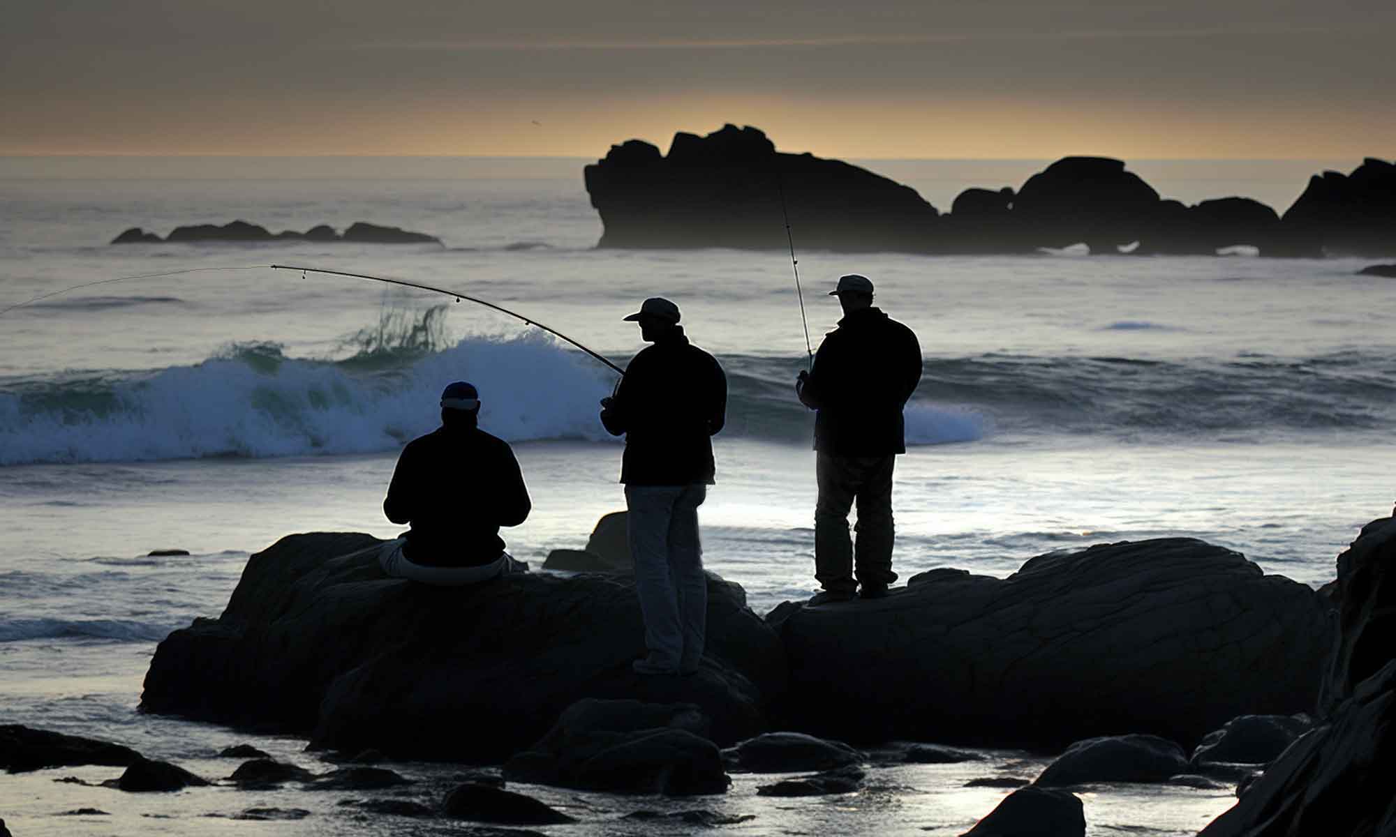
Tide‑Driven Feeding Patterns
As tides flood or ebb, they move nutrients, small forage fish, and crustaceans into new zones. Predatory species instinctively follow these food sources. For instance, during incoming tides, water floods flats and channels, drawing bait and gamefish into previously inaccessible areas.
Prime Moment = Tide Change
Anglers often focus their efforts around the “slack tide” — the brief pause when flow shifts. This transition is when fish actively reposition and often feed aggressively. (Sources: thefisherman.com, discoverboating.com)
Know Your Hot Spots
Successful anglers learn tide-related rhythms in favored locations—logging when “early incoming is hot” or “don’t miss low water.” These patterns help replicate success each season. (Source: thefisherman.com)
🚤 Boating: Safety & Efficiency at Launch, Dock, and Transit
Navigational Depth
Tidal ranges vary—2 ft in calm areas, up to 15 ft in high‑range regions like the Bay of Fundy. Knowing current tide levels ensures enough clearance for your draft in shallow zones or at boat ramps. (Sources: oceanservice.noaa.gov, rivolu.com, norcolezdock.com)
Timing Launches and Recoveries
Launching during rising tides helps avoid scraping hulls on mudflats, while recovering at high tide simplifies ramp retrieval. Missing the tide window can strand your boat or damage gear. (Sources: discoverboating.com, rivolu.com, pumpedupsup.com)
Currents Affect Speed and Fuel
Tidal currents in narrow channels can reach 6+ knots. Traveling with the current saves time and fuel, whereas going against it increases consumption and can make steering tricky. (Sources: rivolu.com, powerproductsystems.com, pumpedupsup.com, americasboatingclub.org)
Safe Docking and Anchoring
Tidal changes affect both how much anchor rode you need and how secure your boat stays. Docked at high tide without slack knowledge? You may end up stranded at low water. Anchoring at the wrong time can lead to drag as the tide drops. (Source: powerproductsystems.com)
🌐 Tools & Best Practices
Use Tide Charts and Apps
Historically, tide tables were printed on placemats near marinas; today, apps and NOAA charts give real-time tide heights, times, and currents.
Combine Charts with Local Knowledge
The best results come from blending tide predictions with on-site awareness—e.g., observing current flows visually and studying seasonal tide logs.
Plan Around Spring vs. Neap Tides
Spring tides (new/full moon) bring higher highs and lower lows—great for accessing shallow spots but bringing stronger currents. Neap tides are milder, offering more predictable conditions.
BC Tide Calendar Features
Smart & Convenient
- Remembers Your Location: Select your favorite fishing spot once - it's automatically saved for next time
- Quick Date Selection: Use preset buttons for "Next 3 Days", "This Week", "Weekend", or "Next 7 Days"
- Mobile Optimized: Works perfectly on phones, tablets, and desktop computers
Export Options
- PDF Generation: Save tide calendars as PDFs with location and best fishing time explanations
- Print Ready: Clean printing with automatic page breaks and optimized formatting
- Share with Others: Perfect for sharing fishing plans with friends or guide clients
Perfect for BC Anglers
- Complete Coverage: All major BC coastal locations from Vancouver Island to Haida Gwaii
- Solunar Integration: Combine with our Solunar data for the most comprehensive fishing timing available
BC Tide Calendar
Data provided by the Canadian Hydrographic Service - accurate and reliable tide predictions for safe and successful fishing trips.
BC Tide Calendar
Data provided by the Canadian Hydrographic Service.
This information is not to be used for navigation purposes.
Limited to 30 requests per minute. Data is cached for 1 hour.